Where LSD = Long Steady Distance not Lysergic Acid Diethylamide
Are you sitting on your trainer, staring out the window at the snow piling up on your back deck? Or maybe you’re bundled up like the Michelin Man, taking advantage of a sucker hole in the foul weather, the one that ends in a sideways downpour with gusts that nearly blow you into the ditch. Perhaps you have surrendered to Mother Nature and have taken up swimming, skiing, or surfing Netflix from the comfort of your couch. But what you’re dreaming of is heading out in your summer jersey and shorts, logging hundreds of base miles under the warm summer sun. What would you say if I told you that you could have all that, and endless tacos too?
Ready to Roll - Your future Blue Hogback outfitted for your next amazing back packing adventure
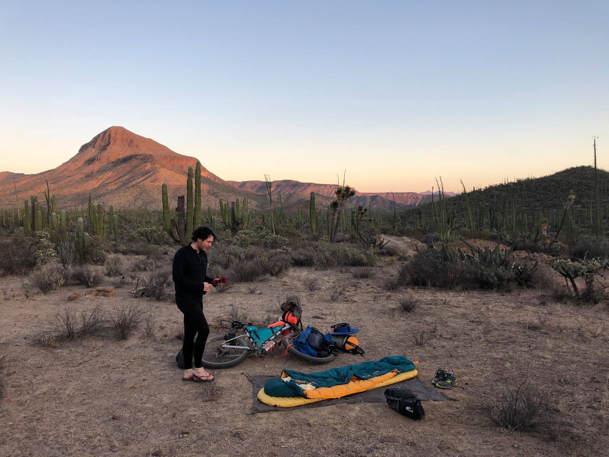
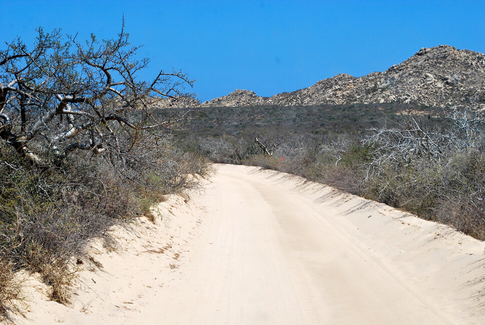
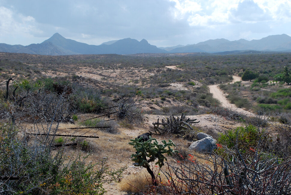
Less than five years ago endurance beasts Lael Wilcox and Nicholas Carman were in a similar state. Not content with Netflix surfing (OK, these two are adventure monsters so I doubt they do a lot of Netflix surfing), they decided to conquer the Baja Peninsula by mountain bike. The result of their efforts is the 1700-mile Baja Divide bikepacking route. The route officially starts in San Diego, California and ends in San Jose del Cabo, Baja California Sur. While the route varies year to year due to the Baja 1,000 race, extreme weather events, erosion, and other forces of nature, it is always comprised of approximately 95% dirt and 5% pavement. The dirt sections are a combination of dirt road, cow path, sandy arroyo, firm beach riding, rutted single or double track trails, gnarly washboards, baby heads, and unforgiving technical climbs. Tackling the entire route in one shot is not for the weekend warrior.
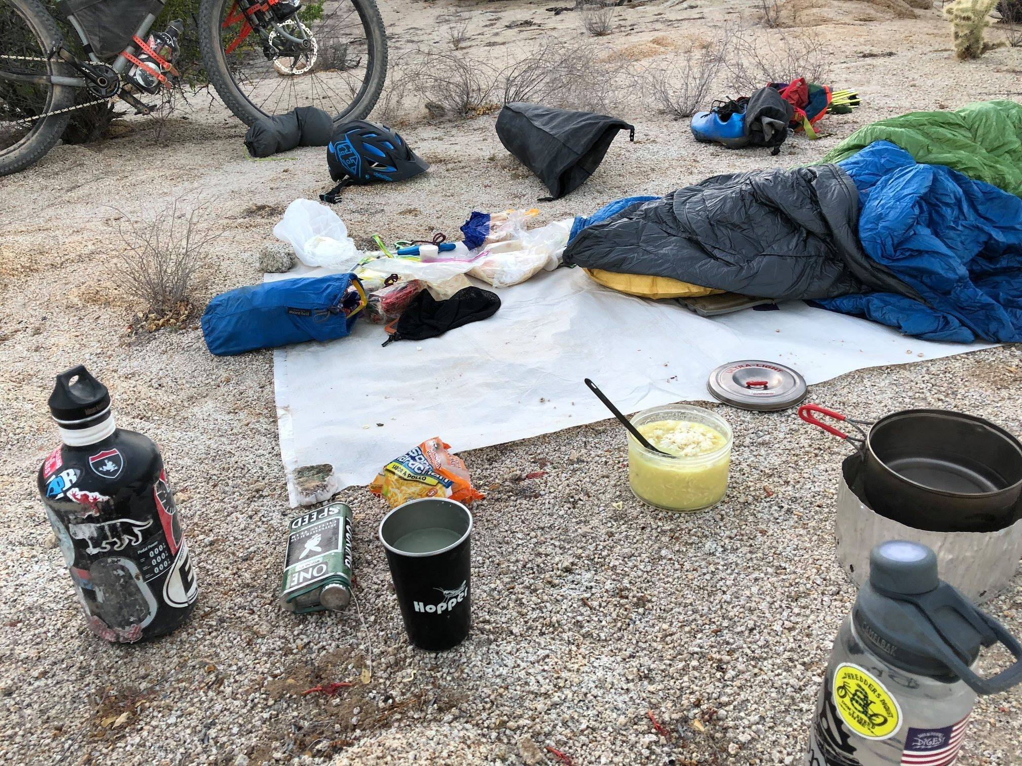
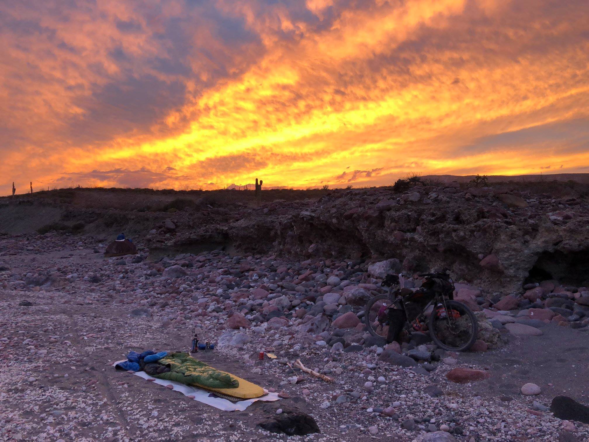
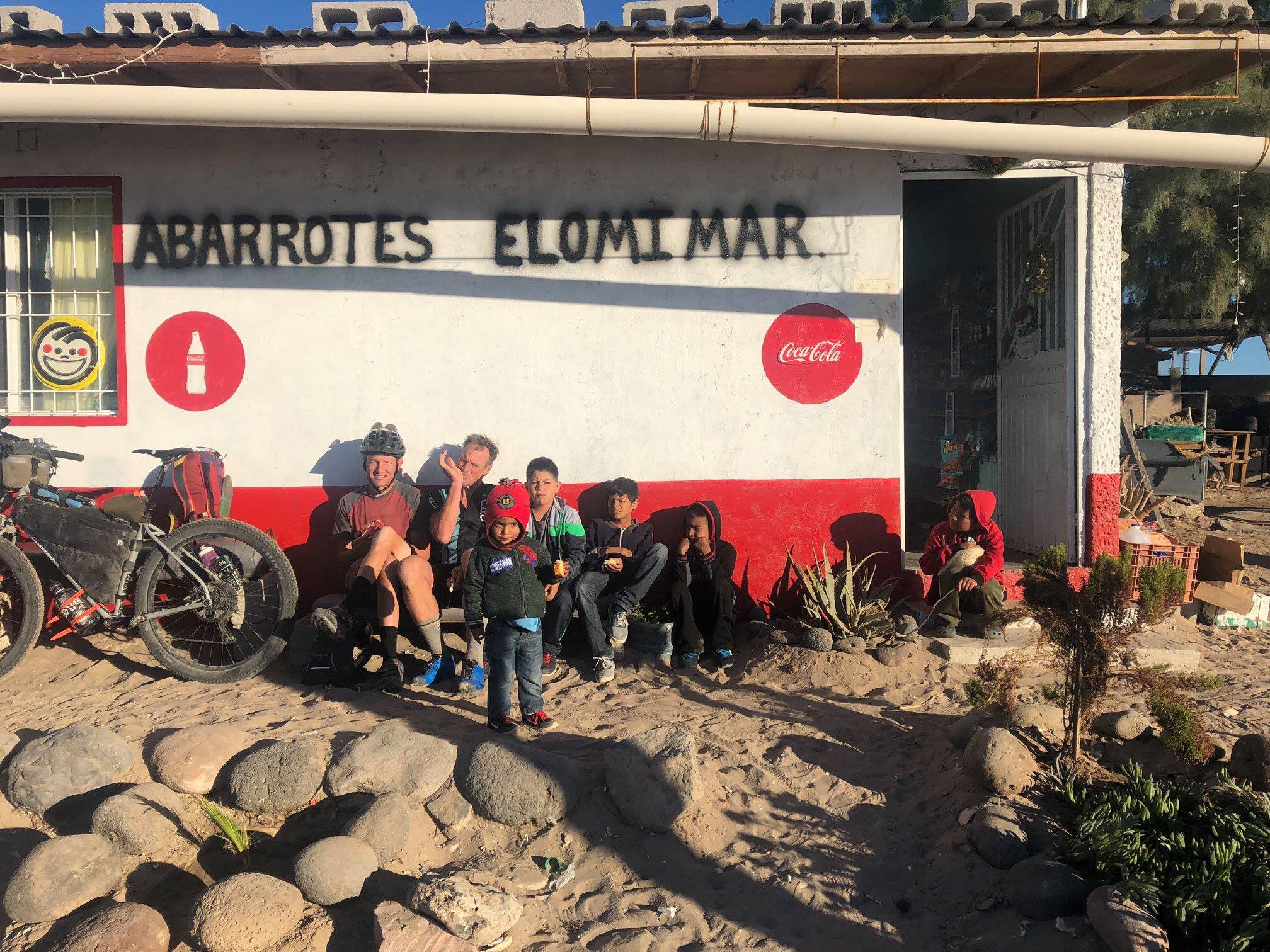
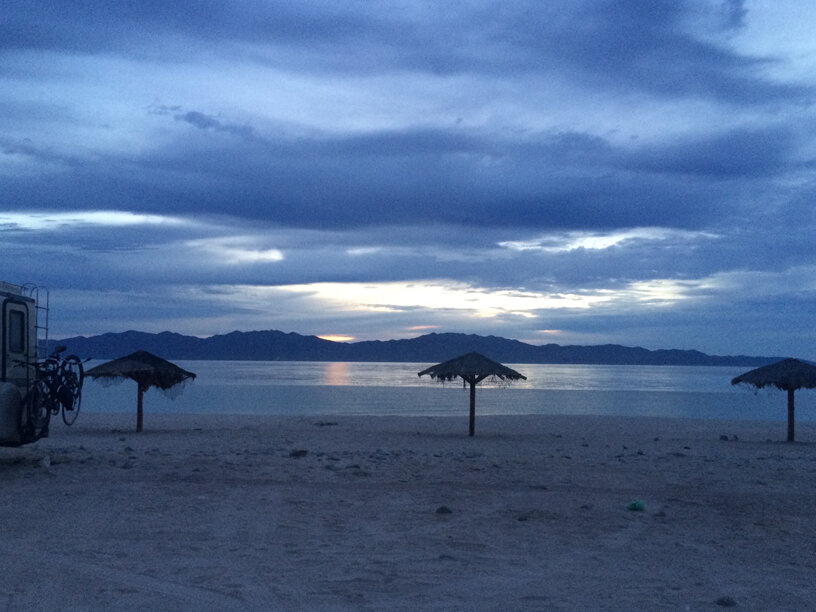
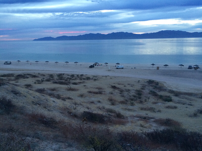
The ride is brutal, but it is not without rewards. If you want to check out from civilization, sleep under a blanket of brilliant stars, explore Spanish missions and cave paintings and magical towns, skinny-dip in the Pacific Ocean, swim with whale sharks in the Sea of Cortez (Gulf of California), enjoy the solitude of a land unspoiled by urban sprawl, all while feasting on tacos, fresh caught ceviche, and gallons of tasty cheap beer, the Baja Peninsula has all that and more. The more I’m referring to is the incredible people you will meet along the way. This includes ranchers with their farm-fresh eggs; the mom & pop tienda owners who will happily sell you a pouch of refried beans and fresh corn tortillas warm from the cooler, let you camp in their yard, and maybe even offer you the use of their hose to clean off some of the trail grime. You’ll meet the goat farmer who will sell you fresh queso de cabra (goat cheese); the fishermen who will shuttle you to a secluded island, catch a fish or five, transforming some of it into ceviche and cooking the rest over a campfire, and collect you the following day; and fellow adventurers with whom you will swap your tales of woe and feats of daring. You might even end up sharing a bucket-load of tears with your new friends. I’ve heard this ride can bring a grown person to their knees.
Like anything in life, you can opt to devour the entire Baja Divide or you can cut it up into bite-sized pieces.
The Whole Enchilada
If you choose to ride the entire 1,700 miles, you will be logging almost 92,000 feet of climbing. The current record for the Baja Divide is 11:11:20 (11 days: 11 hours: 20 minutes), but that does not include the final portion of the Cape Loop from San Jose del Cabo through Todos Santos and back to La Paz. Most people seem to opt for a relatively leisurely pace of around 50 miles per day, which often translates to ten hours per day in the saddle. Depending on your fitness -- and your masochistic tendencies -- you will want to plan on four to six weeks to complete the entire route.
The Food Log (aka the Little Burro; aka the Burrito)
Another option is to tackle the route in parts. There are four sections, and each has its own distinctive flavor. The northernmost and southernmost parts are easiest to access, via the San Diego International Airport in the north and the San José International Airport in the south. If the never-ending washboards and ankle-deep sand have sucked your will to pedal, you can always hop on Mexico Highway 1, cutting out some mileage and some wear and tear on your body. It’s also possible to stow your bike in the luggage cargo and ride the Aguila bus between sections. One last option is to hitch a ride with a passing local. I would not recommend this last option for riders traveling alone, especially women. The Baja Peninsula is quite safe, but there is no reason to take unnecessary risks.
The Northern Sierra
San Diego - Vicente Guerrero
305 miles, 24,425 feet of climbing
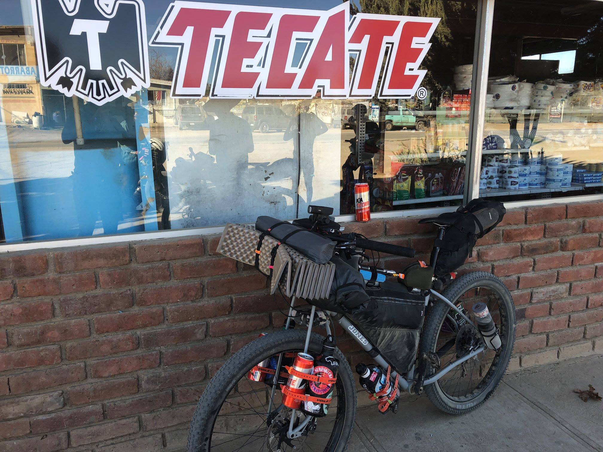
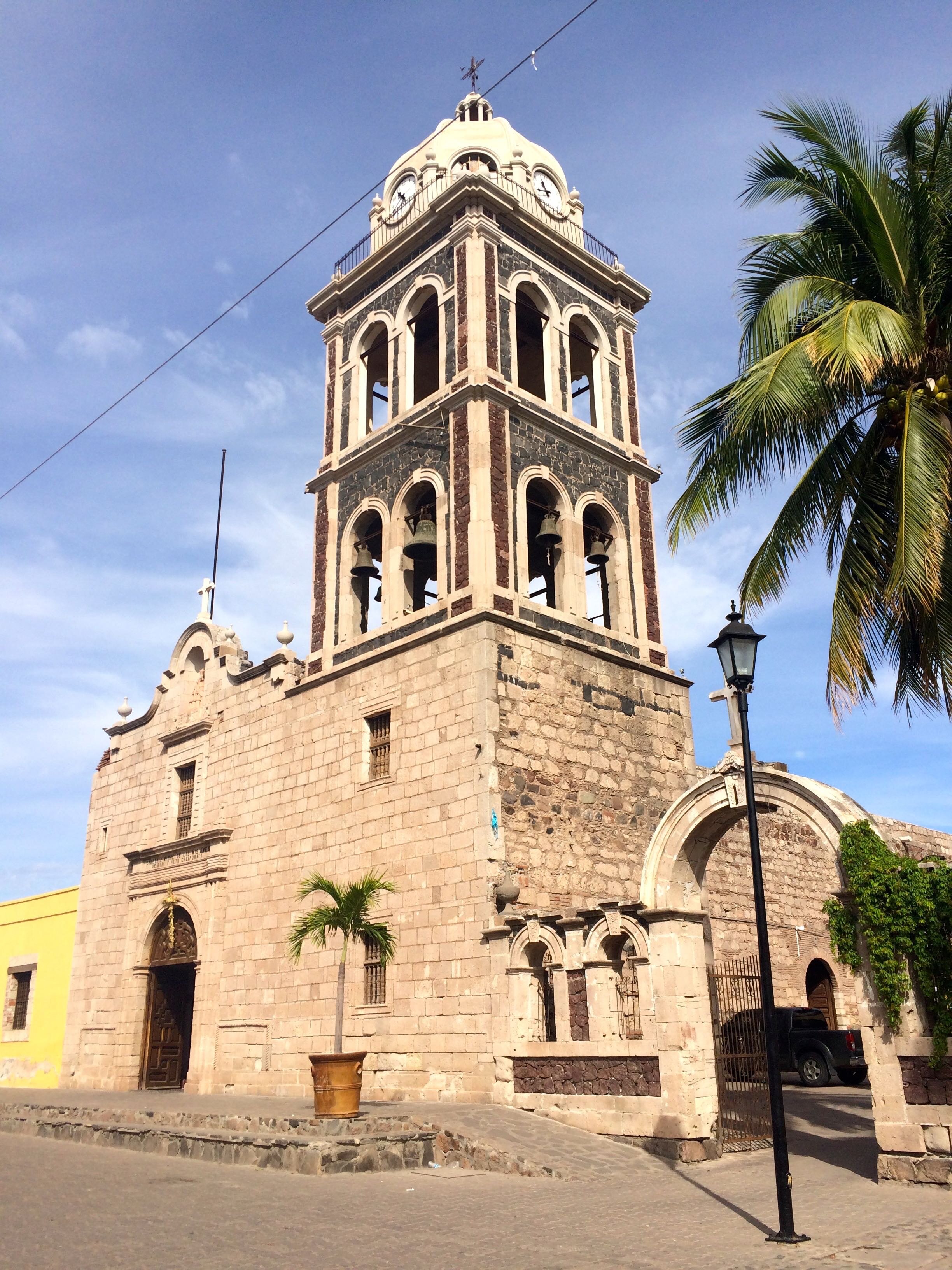
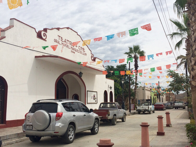
Tecate, your first taste of Mexico, is a strange mix of border town, brewery, and Pueblo Magico (a designation conferred by Mexico’s Secretariat of Tourism for towns that offer visitors a “magical” experience - based on the natural beauty, cultural richness, traditions, folklore, historical relevance, cuisine, art crafts and hospitality of the area). Tecate is one of three Pueblos Magicos on the Baja Peninsula. The other two are Loreto and Todos Santos. In my experience traversing Mexico, Pueblos Magicos are truly magical.
If you are a wine aficionado, you might consider a circuitous detour through Mexico’s wine country in the Valle de Guadalupe on Mexico Highway 3. The area is beautiful, the pavement is excellent, and there is a plethora of wineries, restaurants, and lodging options. This could easily be a stand-alone excursion.
A visit to Salvador at FASS Bike Shop in Vicente Guerrero is a must. Salvador is an OG (original gangster) mountain biking enthusiast and enthusiastically supports every Baja Divide rider who crosses his threshold. If you need service – or any last-minute equipment, advice on the ride, or just a sympathetic ear -- Salvador is an amazing guy.
The Valle de Los Cirios
San Vicente - San Ignacio via Bahia de Los Angeles
559 miles, 22,003 feet of climbing
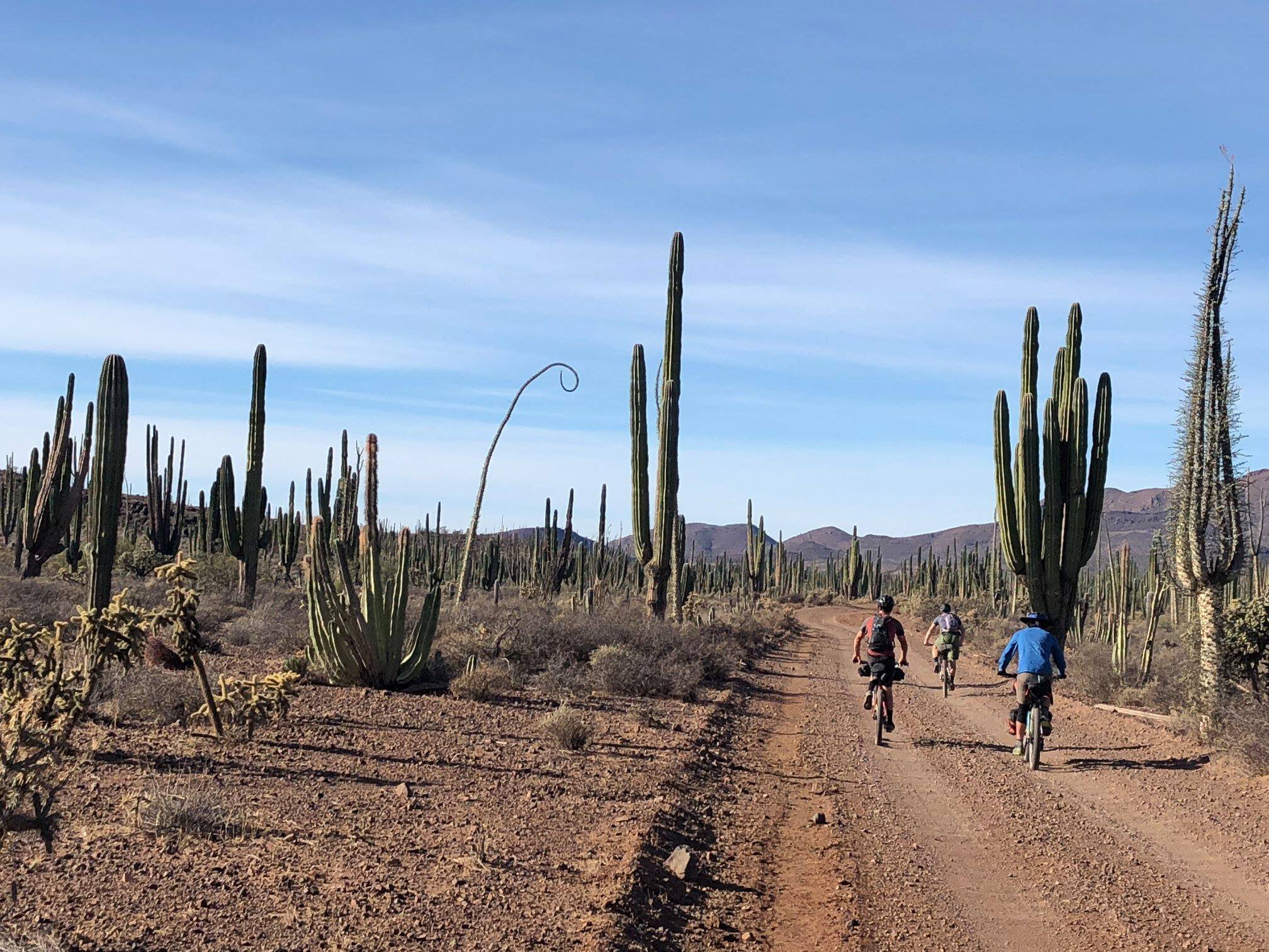
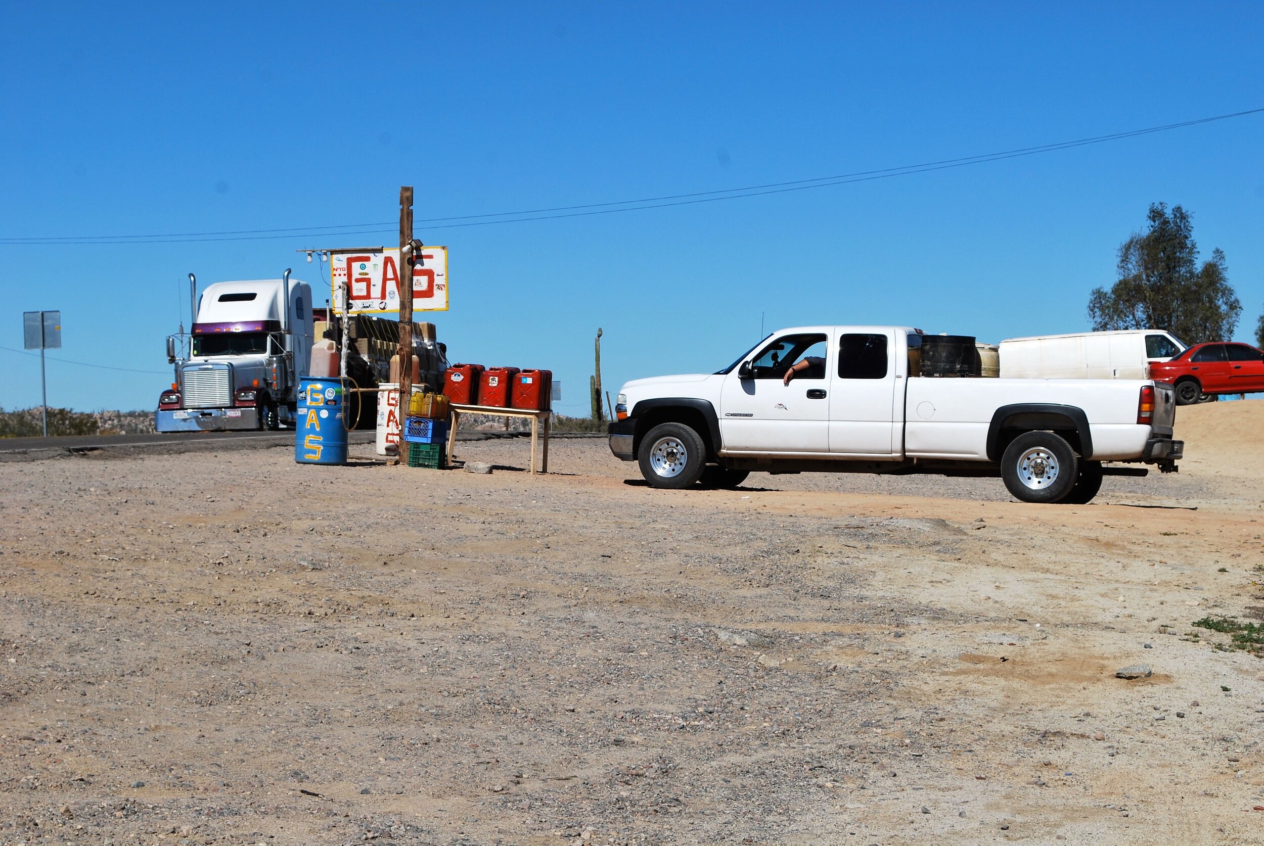
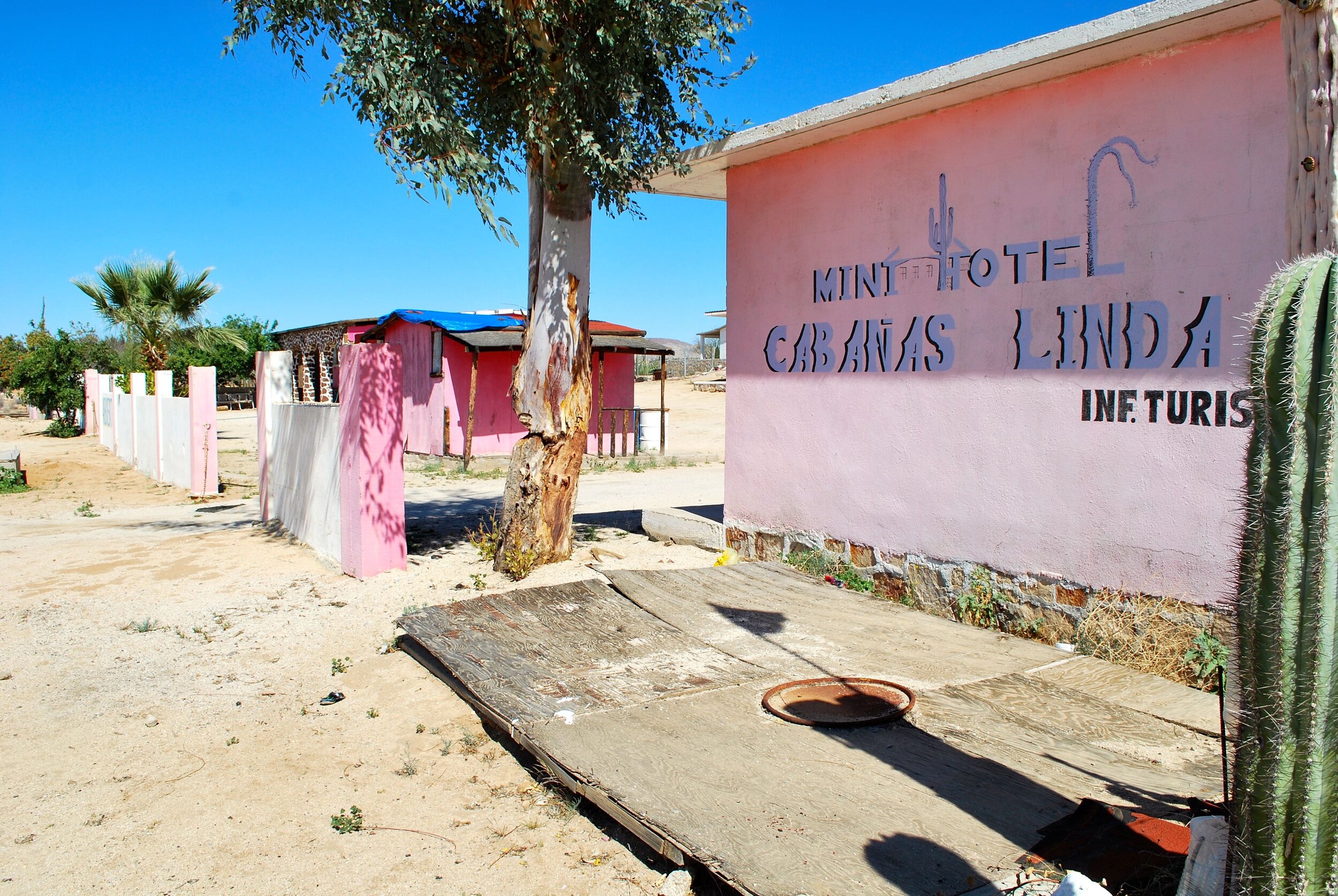
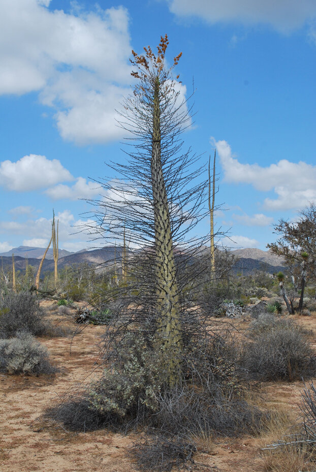
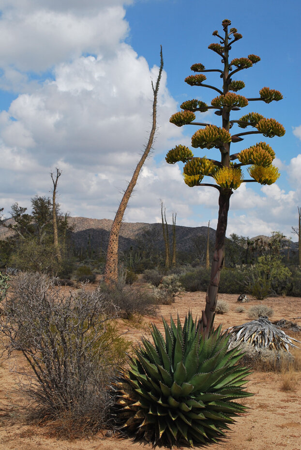
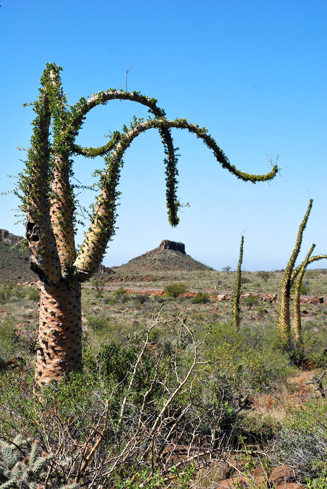
The Valle de Los Cirios (the valley of the cirios) is a magical place of a different variety. The cirios, also known as the Boojum tree, is a Dr. Suess-esque cactus that is found in no other place on earth. In 1980 the Valle de Los Cirios was declared a protected national area, and is slated to become an UNESCO World Heritage Site. The area is as stunning as it is remote, a mix of giant cardon cactus (endemic to Baja), cirios trees, a variety of beautiful palm trees including the magnificent Mexican Blue Fan Palm, amazing boulder formations (known as Baja’s Rock Garden), and a plethora of wild animals including pumas, bighorn sheep, deer, coyotes, eagles, hawks, and owls. The town of Cataviña, smack in the middle of the region, boasts a cheap Pepto-Bismol pink hotel, the upscale Hotel Misión Santa Maria Cataviña, a couple small cafés, and a small army of locals selling expensive gas from five-gallon containers. The closest gas stations are 76 miles to the north and 120 miles south, and many people forget to top off the tank before hitting this section of highway.
Descending into the Bahia de Los Angeles (bay of the angels) provides the tired bikepacker with another spectacular vista. The “angels” are a series of 16 islands in the middle of the bay. One of the islands is home to rattle-less rattle snakes, but since they’re a protected species you won’t be allowed to accidentally set foot on their island. The bay is also the seasonal home of a variety of whales, including orcas and whale sharks. I strongly recommend spending the night at Campo Archelon. Originally built as a sea turtle sanctuary, the Campo now rents cabins, beachfront palapas, and kayaks. The owners are very friendly and helpful, and can arrange boat trips to fish for yellowtail, cabrillo, dorado, and grouper; island visits and clam-gathering excursions; whale-watching tours (Bahia de Los Angeles is a temporary home to orcas, blue, humpback, sperm, minke, mako, and fin whales); excursions to swim with whale sharks; or a simple sightseeing adventure by boat.
The Missions
San Ignacio - La Paz
558 miles, 22,931 feet of climbing
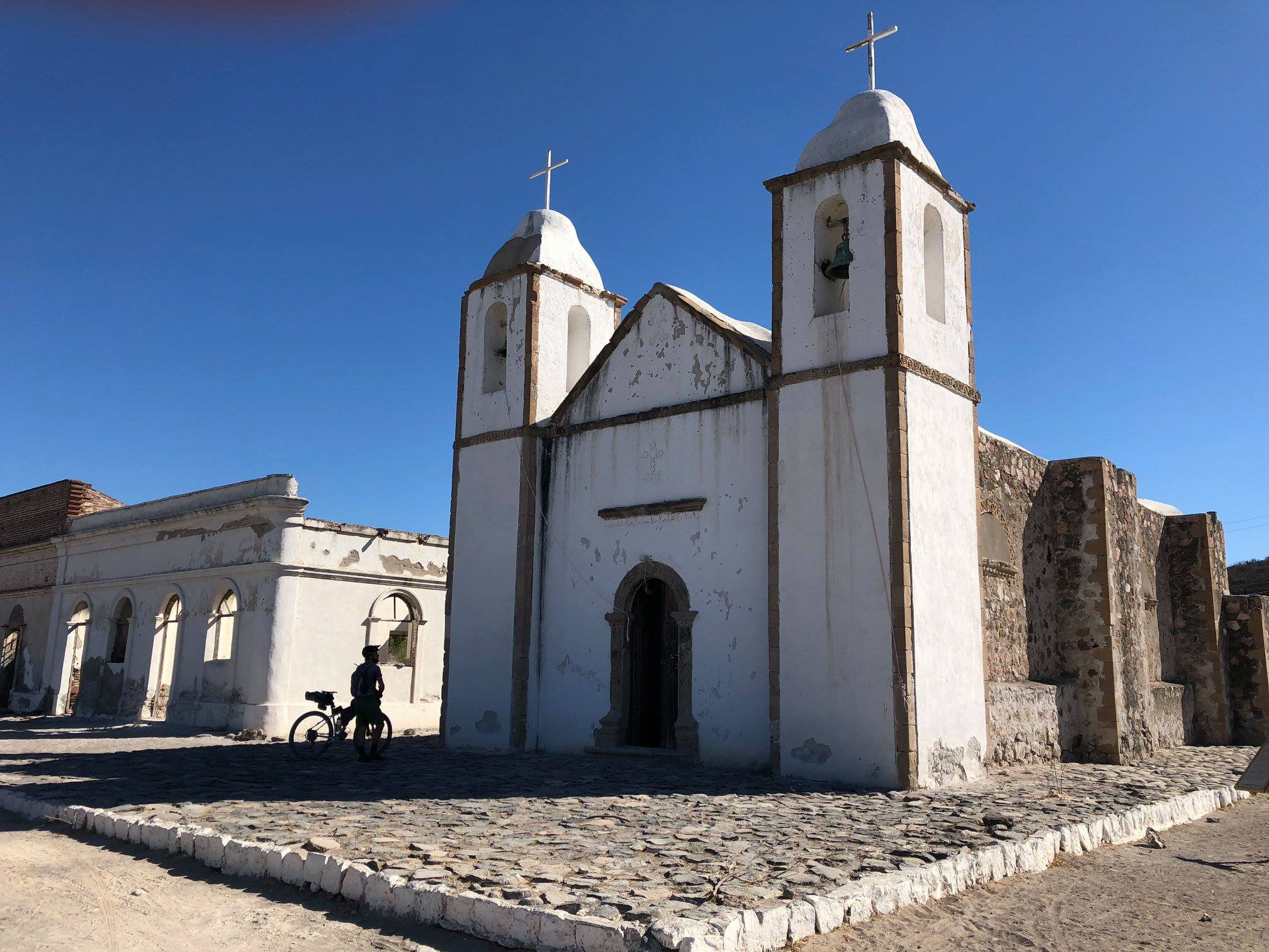
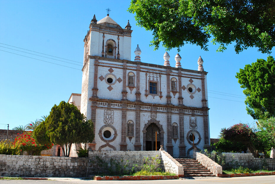
San Ignacio is a refreshing emerald oasis nestled in a prickly sea of brown. The town, a vast date palm oasis, is home to the impressive Misión San Ignacio de Kadakaaman and provides a taste of old Mexico. My favorite camping spot, Los Petates, is located on a pond of agua dulce (fresh water). The owner Manuel keeps the place immaculate, with palm palapas, secondhand tables, a BBQ area, showers and flush toilets, and repurposed school bus seats to lounge on. You can paddle around the pond in a plastic paddleboat, and at night the symphony of bullfrogs, crickets, coots, and other creatures serenades you to sleep. Manuel also arranges tours to the cave paintings of the Sierra de San Francisco and other points of interest.
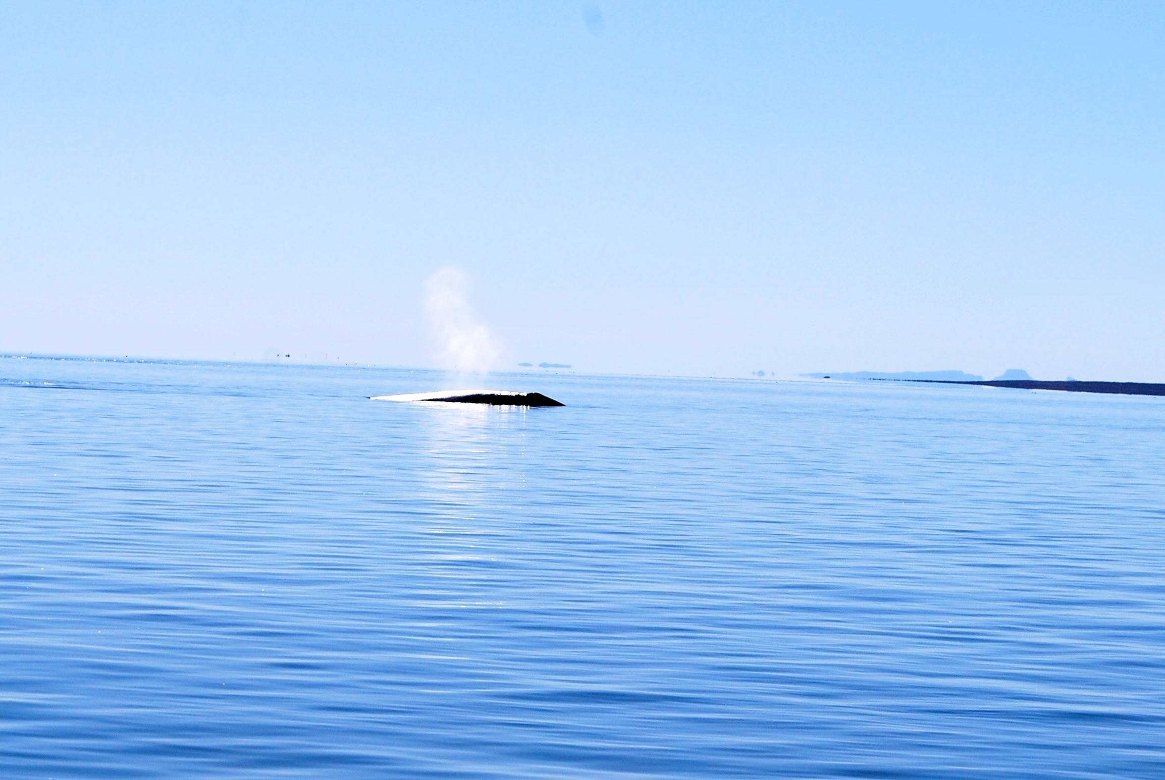
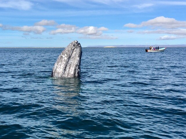
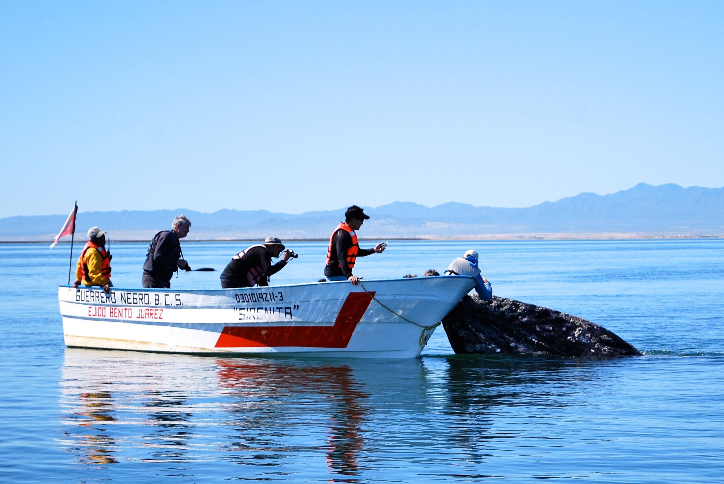
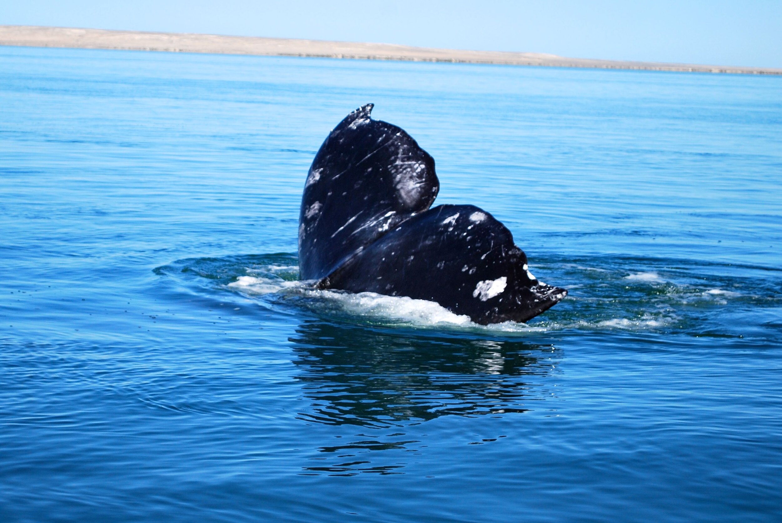
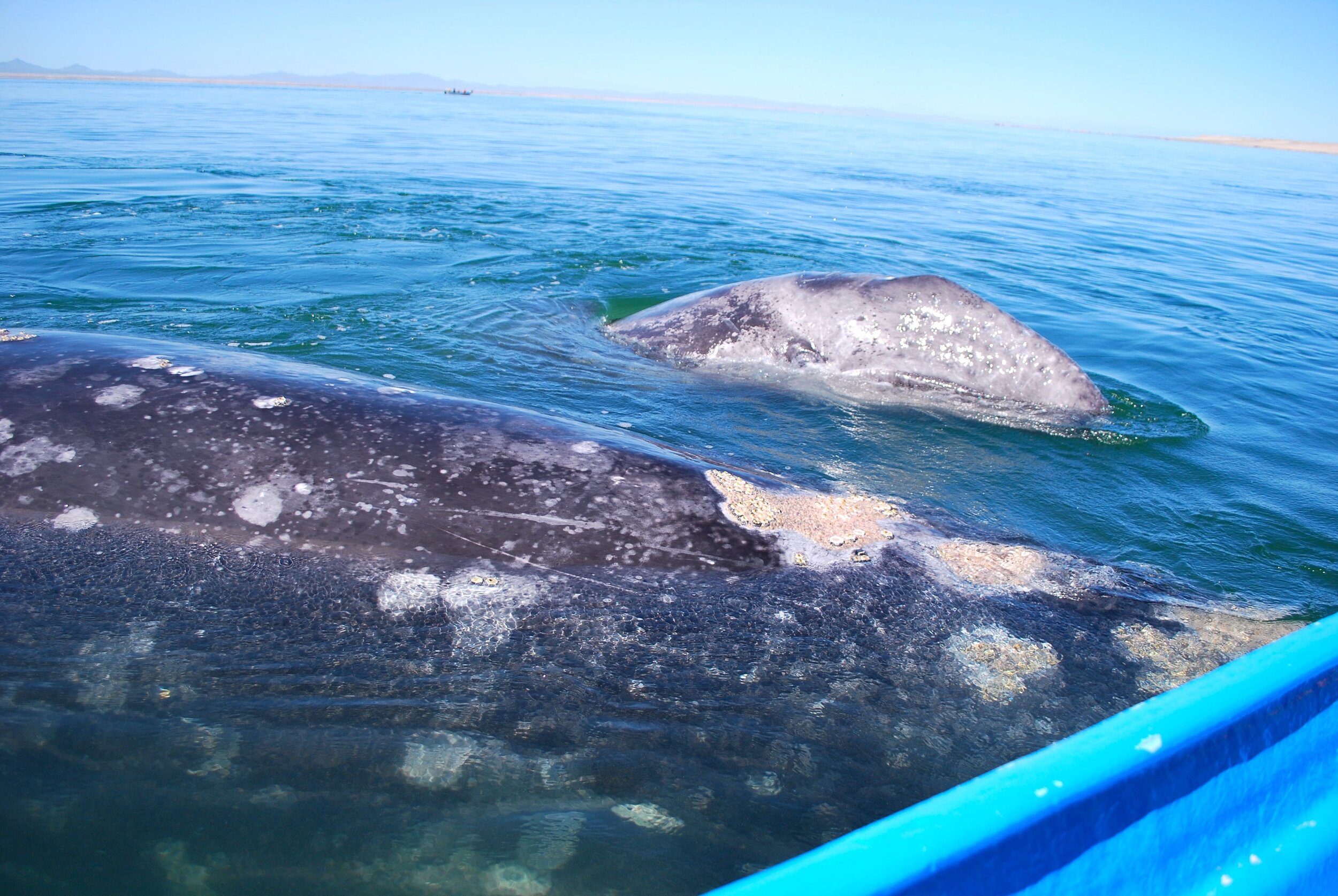
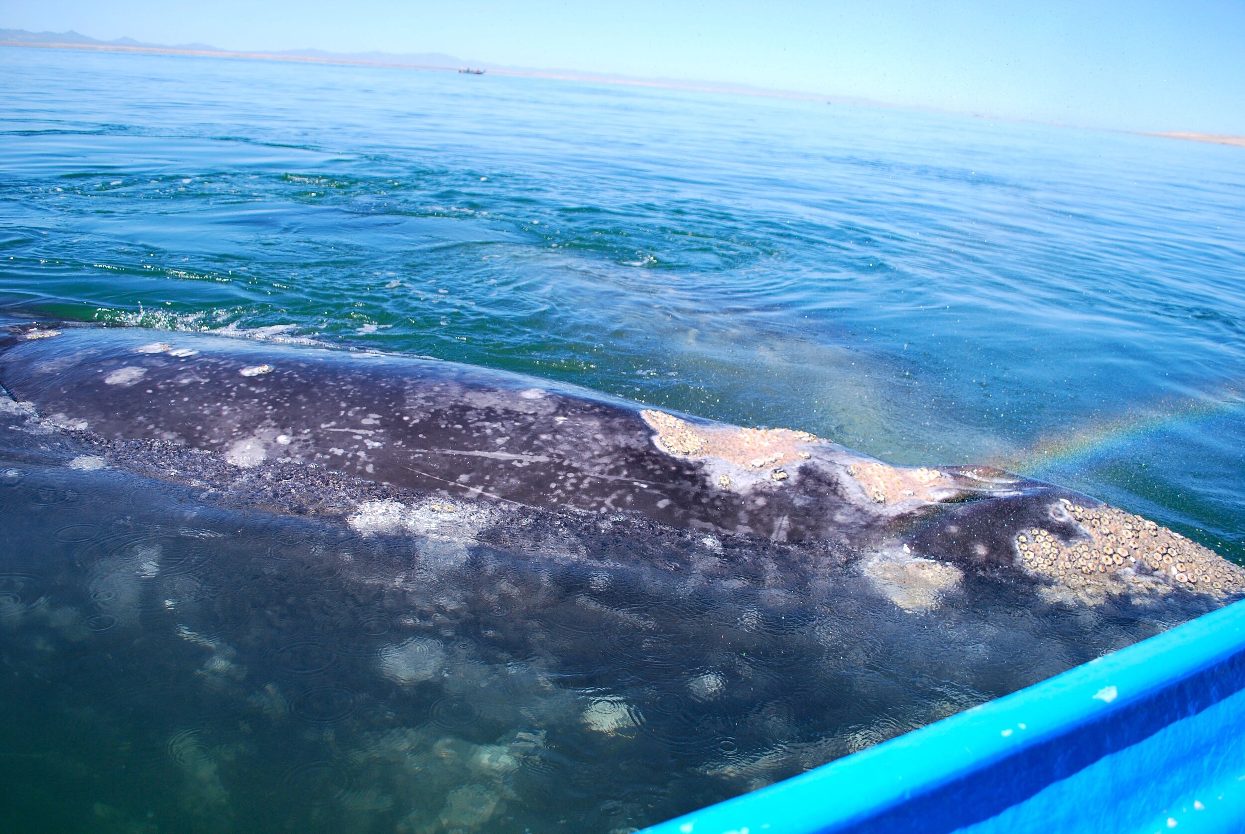
The one not-to-be-missed excursion from San Ignacio is a visit to the gray whales in the Laguna San Ignacio. Each year the gray whales return to one of three locations on the Pacific coast of Baja: San Ignacio, Laguna Ojo de Liebres just south of Guerrero Negro, and San Carlos on the Bahia Magdalena, just west of Ciudad Constitución. During the mid-December through March birthing season local fishermen become tour guides, shuttling small groups out into lagoons heaving with mama and baby whales. The whales are very playful, circling the boats, diving deep under the water and lifting the boats out of the water with big exhalations, breaching, lunging, spy-hopping, bow-riding, porpoising, lob-tailing, and slapping. They pop up, just out of reach, then closer and closer to the boat until finally the mama comes up for a little human love. Later in the season, the mama whales actually push their babies towards the boats, introducing their wee wanes to humans. The Baja Divide route travels the 42-miles from town to the Laguna de San Ignacio. The first half is rolling, beautifully paved road, the second half is a grueling slog through the salt flats on gnarly, never-ending washboards. Once you reach the laguna there are a number of whale-watching tour operators that offer lodging, food, and boat trips out to commune with the whales.
The Cape Loop
La Paz - San Jose del Cabo - Todos Santos - La Paz
255 miles 20,777 feet of climbing
See below for extensive details of this segment.
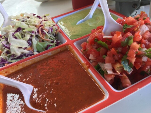
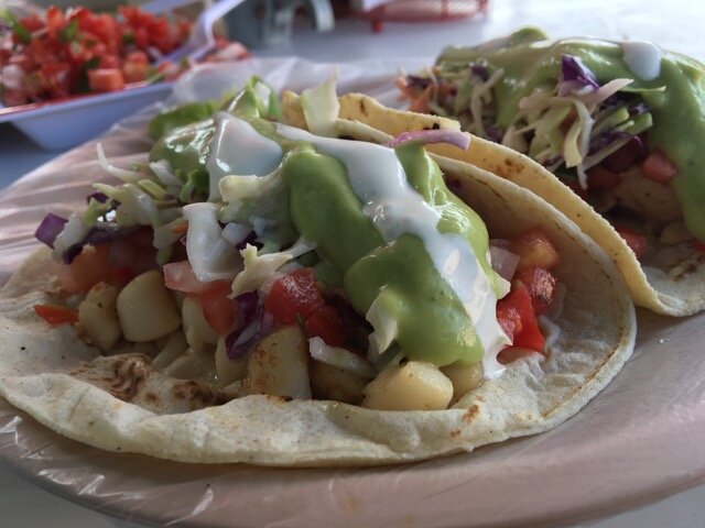
The Taco Combo Plate with a Side of Guacamole
If you love the idea of a sunny Baja riding holiday but the thought of a grueling 1,700 miles is just too daunting, you have two completely different, but entirely delightful options. The Cape Loop is dotted with lovely towns, each with an exhilarating collection of single-track trails. For a challenging yet comfortable route, you can fly into Los Cabos, ride the divide route and recover between sections in one of the sweet local villages, partaking of the local single-track offerings between legs. Another option is to rent a car and drive from town to town, feasting on single-track, tacos, guacamole, and beer. The influx of bike-riding expats combined with the increase in local mountain bike enthusiasts has given rise to an incredible system of trails scattered throughout the Cape from La Paz to Los Cabos. All of the towns in the area offer a range of accommodations and plenty of great food options.
The following are some of the highlights:
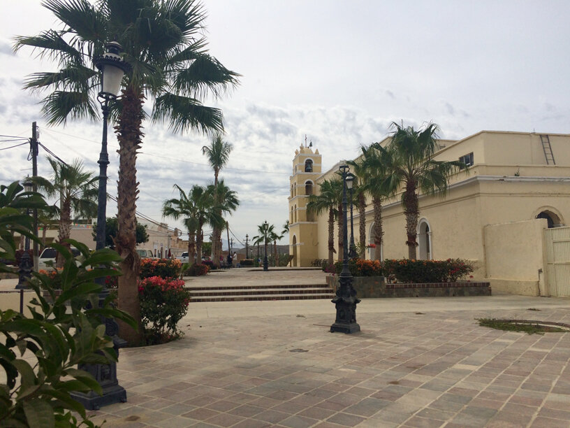
Los Cabos (population 305,983) on the southernmost tip of the Baja Peninsula encompasses both San Jose del Cabo and Cabo San Lucas. The entire area has become a major tourist destination with as many as one million visitors each year. Originally Los Cabos consisted of two distinct towns, one a sleepy fishing village (Cabo San Lucas), the other home of the Mission San Jose del Cabo (founded 1730) and a sweet but touristy downtown area that hosts an Art Walk every Thursday. With the influx of tourists the two towns have become big and crowded and more than a bit dirty, but the beaches are gorgeous and there are good number of trails throughout the region.
San Jose del Cabo – Todos Santos
Mileage: Road – 65 miles, Bike – 55 miles
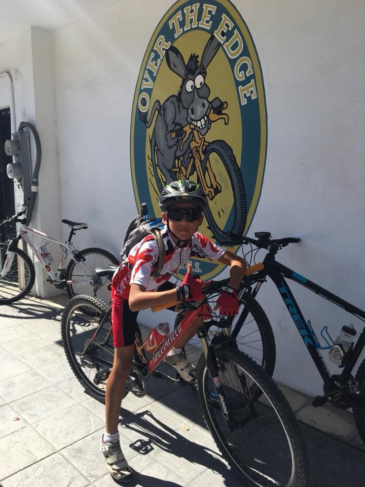
Todos Santos (population 6,485) is a Pueblo Magico and home to a plethora of expats. Many of the early arrivals were artists and surfers who transformed the town into an artist community with gallery-lined streets, a wide array of food ranging from gourmet French and Italian cuisine to the bacon-wrapped hot dog vendors that dot the street corners at night, and a plethora of lodging options. There is an extensive series of trails, ranging from swoopy singletrack to rocky fire road grinds to secluded beaches. Todos Santos is also home to the newest branch of Over The Edge Bicycles, who will hook you up with all things bike.
Todos Santos – El Triunfo
Mileage: Road – 45 miles, Bike – 50 miles
El Triunfo (population 327) is a former mining town just 32 miles south of La Paz. It is home of the Reto Baja 100k Mountain Bike race held every November. It is also home to two museums, one devoted to its mining history, the other to pianos. For such a tiny town, there is amazing food to be found, specifically the Café El Triunfo, with delicious meals and bakery goodies, and Bar El Minero, which serves up homemade salchichas, garden fresh salads, and a wicked paella on Sundays.
El Triunfo – La Paz
Mileage: Road – 32 miles, Bike – 25 miles
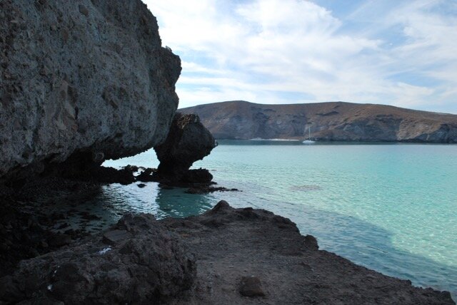
La Paz (population 244,219) is the capital of Baja California Sur located on the Sea of Cortez. The most delightful feature of the town is the malecón (an esplanade along the ocean), lined with restaurants, hotels, and a plethora of boats that are happy to take you on a tour of the Islas Espirito Santo and Partido to swim with sea lions and whale sharks, gorge yourself on freshly made ceviche and tostadas, comb beautiful deserted beaches, and watch exotic birds such as the Blue-Footed Booby. It is also the gateway to two of the most beautiful beaches in Baja, Playa La Balandra and Playa El Tecolote.
La Paz – El Sargento/La Ventana
Mileage: Road – 29 miles, Bike – Unknown (This is not an official part of the Baja Divide route)
El Sargento/La Ventana (population 255), located a 45 minute drive southeast of La Paz, was a small fishing village founded in the 1940s by pearl diver Salome Leon. Together with El Sargento it has become a kiteboarding and windsurfing mecca. It has two gorgeous series of trails, one north of El Sargento the other south of La Ventana. The afternoon winds are fierce so you will want to get your ride in early.
El Sargento/La Ventana - Los Barriles
Mileage: Road – 49 miles, Bike – El Triunfo to Los Barriles - 55 miles
Los Barriles (population 1,174) is located on the Sea of Cortez roughly halfway between La Paz and San Jose del Cabo. The town has become the Baja capital of kiteboarding and windsurfing. There is also an incredible series of trails, so you can ride all morning, feast on tacos and cerveza for lunch, then hit the surf after a nice siesta.
Los Barriles - Cabo Pulmo
Mileage: Road –35 miles, Bike – 30 miles
Cabo Pulmo (population 58) is part of a 17,570-acre Marine Protected Area and National Park, declared a UNESCO World Heritage site in 2005. This is the most remote location on the divide route, and is considered by some to have the best trails. In addition to riding you can scuba dive or snorkel in one of only three coral reefs on the west coast of North America. The fishing village of Los Frailes also offers incredible snorkeling from the shore – no boat or guide necessary. Here you’ll also find miles of pristine beach and glorious swimming.
Cabo Pulmo – San Jose del Cabo[SE2]
Mileage: Road – 61 miles, Bike – 40 miles
Nos vemos, Mexico! (See you soon, Mexico!)
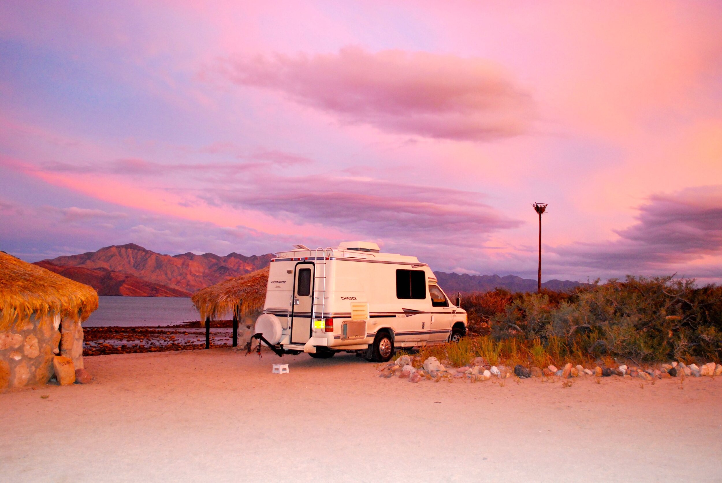
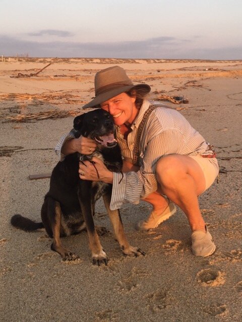
I have traversed the entire Baja Peninsula five times. My first trip I traveled in the luxury of my wee Chinook RV with my faithful canine companion Luna by my side. The next four trips I was accompanied by Luna and my two new Baja Beach Babies, Pequeña and Loquita. My final trip down the peninsula I was going “home” to my sweet one-half acre mango oasis, La Finca de La Luna, in Todos Santos, Baja California Sur. If you find yourself riding through Todos Santos please give me a shout. Sometimes it’s good to see a friendly face, get an intro to the local bike shop, or hear a (well researched) opinion on the tastiest tacos in town.
Web Research 411:
Baja Divide Website: https://bajadivide.com
Baja Divide Facebook page: https://www.facebook.com/groups/bajadivide/
Trailforks Trail Maps: https://www.trailforks.com/region/baja-california-sur/?activitytype=1&z=7.9&lat=23.62033&lon=-110.41668
For a brutally honest blow by blow of the Baja Divide, accompanied by amazing and gorgeous video images, check out Ryan Van Duzer’s Youtube channel. I do offer two caveats. First, while he is an adventure junkie, he is not a dedicated mountain biker, evidenced by the fact that he bought new bike shorts and a new bike (yes, saddle and all) immediately before embarking on this ride. Second, on occasion he has a bit of a potty mouth, so if that offends you, you might want to skip his videos here.


